

Evacuation Maps
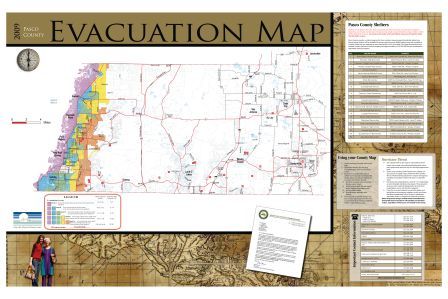
Evacuation Zone Map 2009
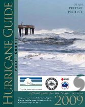
The current Pasco County Evacuation Zone Map is now a part of the 2009 Hurricane Guide and includes shelter information, evacuation routes, and important numbers.
Click on either image to download the 2009 Hurricane Guide (3.0MB .pdf)
![]()
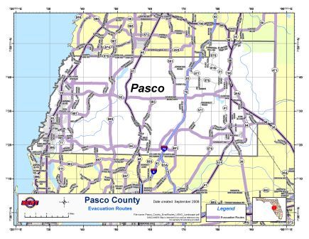
Evacuation Routes Map 2008
Click on the image to download the 2008 Pasco County Evacuation Route Map (1.4MB .pdf)![]()
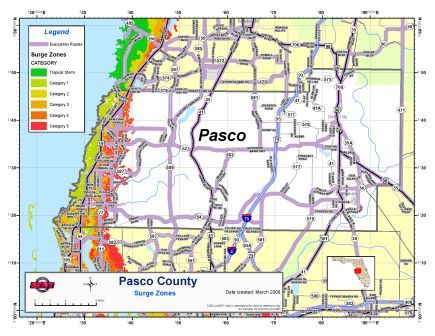
Surge Zones Map 2008
Click on the image to download the 2008 Pasco County Surge Zones Map (2.4MB .pdf)![]()
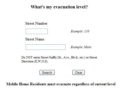
Find Your Evacuation Zone
Click on the image to find your evacuation zone.
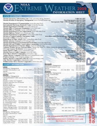
2009 NOAA Extreme Weather Information Sheet
Click on the image to download the 2009 NOAA Extreme Weather Information Sheet (.24Mb .pdf)
![]()